How Does Google Maps Find the Fastest Route?
By
Liz Fujiwara
•

Google Maps finds the fastest route by combining real-time data with advanced predictive analytics. It continuously analyzes live traffic conditions, road closures, accidents, and even weather patterns, integrating this information with historical traffic trends to determine the most efficient path for your journey.
By leveraging data from millions of users and GPS sensors, Google Maps can estimate accurate travel times, reroute drivers to avoid congestion, and adapt to changing conditions in seconds. This dynamic system ensures that users always receive the most up-to-date and reliable directions available.
In this article, we’ll explore how Google Maps gathers, processes, and applies this data to provide accurate navigation, seamless travel experiences, and smarter route optimization.
Key Takeaways
Google Maps utilizes real-time GPS and traffic data to provide the fastest and most efficient routes, ensuring accurate travel time predictions.
Offline maps enable navigation without an internet connection, although users will not have access to live traffic updates or alternate routes.
The app improves the travel experience by allowing users to create custom lists, discover local attractions, and receive turn-by-turn voice navigation for both driving and walking.
Real-Time GPS Navigation
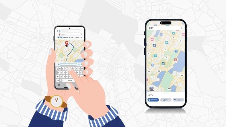
One of the key features that makes Google Maps stand out is its real-time GPS navigation. This feature helps users select the most efficient route by considering live traffic and road conditions, guaranteeing the best possible travel time. Imagine navigating through a busy city with almost surgical precision, avoiding traffic jams and roadblocks; Google Maps makes this a reality.
The app’s predictive capabilities are equally impressive, with over 97% accuracy in estimating travel times for trips. This high level of precision means you can plan your day with confidence, knowing your arrival times will closely match the estimated schedule. Whether you’re commuting to work or heading out on a weekend getaway, this feature takes the guesswork out of your travel plans.
Google Maps also increases mobility by helping users find bike or scooter rentals directly within the app. This allows you to seamlessly switch from walking to biking, or even scooting, depending on your needs and local availability. It’s a versatile tool that adapts to your lifestyle, ensuring you have multiple options to reach your destination efficiently.
Live Traffic Data
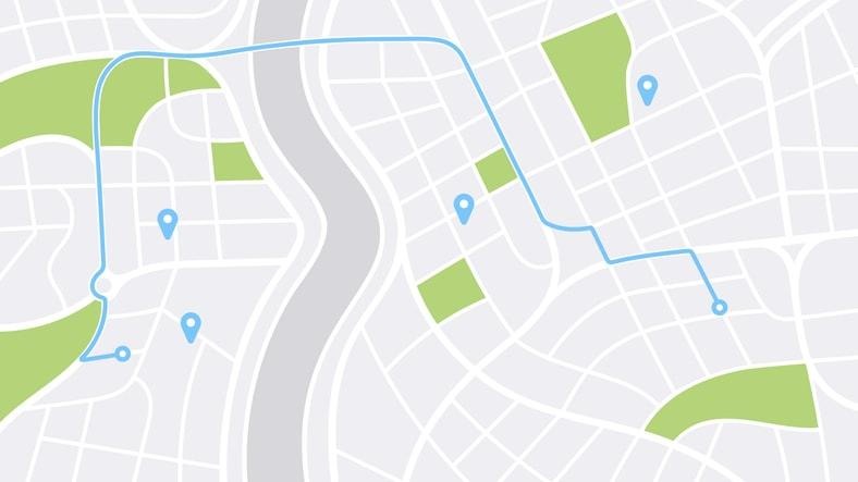
Google Maps excels at analyzing traffic data in real time to provide accurate ETAs. Using aggregated driver location data, the app assesses current traffic conditions across various roads, offering a clear picture of what to expect on your route. This real-time analysis makes it possible to avoid congested areas and take alternative routes when necessary.
Google Maps improves its traffic predictions by combining live data with historical traffic patterns, analyzed through advanced machine learning techniques. This means the app not only knows what’s happening on the roads right now but also anticipates what might happen based on past data. It’s like having a seasoned navigator who knows all the shortcuts and potential pitfalls.
The app suggests alternate routes when it anticipates heavy traffic, considering road closures, conditions, and user feedback. Whether it’s a sudden accident or unexpected construction work, the app delivers real-time updates to help you avoid delays. This proactive approach ensures you always have the best possible route available, making your journey as smooth as possible.
Offline Maps
While real-time updates are incredibly useful, there are times when you might find yourself without an internet connection. This is where offline maps come to the rescue. Google Maps allows users to save maps on their device’s internal storage or an SD card for offline use. This feature ensures that you can navigate even in areas with poor connectivity, preventing you from getting lost.
Before offline maps expire, they need to be updated, which can happen automatically if your device is connected to Wi-Fi. This ensures you always have the most recent data available, even when you’re offline. The app’s ability to update maps automatically takes one more thing off your mind, allowing you to focus on your trip.
However, it’s important to note that when you’re offline, you won’t have access to live traffic updates or alternate routes. While you can still navigate using downloaded maps, the absence of real-time data means you’ll need to be more cautious about potential delays. Nevertheless, offline maps are a valuable tool for ensuring you always have a reliable backup plan.
Custom Lists and Favorites
Google Maps goes beyond mere navigation by allowing users to create personalized itineraries through custom lists and favorites. You can save locations found in screenshots directly to custom lists, making it easier to plan trips and keep track of places you want to visit. Imagine having all your favorite cafés, tourist spots, and hotels neatly organized in one place.
Google Maps also allows you to label your favorite saved places with emojis for a more personalized experience. This feature adds a fun and practical element to your planning, helping you quickly identify the type of locations saved. Whether it’s a coffee cup emoji for your favorite café or a suitcase emoji for a must-visit hotel, the possibilities are endless.
Sharing your custom lists with others is straightforward. Google Maps lets you share these lists via a link, which can be incredibly useful for coordinating travel plans with friends and family. Whether planning a group trip or sharing your favorite spots, this feature facilitates effortless collaboration.
Immersive Street View

Street View is one of Google Maps’ most beloved features, allowing users to visualize their surroundings before arriving at their destination. This immersive viewing experience helps you get a feel for the area, making it easier to navigate once you’re on foot. Whether you’re visiting a new city or just exploring your neighborhood, Street View adds a layer of confidence to your journey.
Additionally, Street View allows users to explore historical changes in locations through its comprehensive imagery. This feature is not only fascinating but also educational, offering a glimpse into how places have evolved over time. It’s like having a time machine in your pocket, allowing you to witness the transformation of your favorite spots.
Users can also enhance Google Maps by uploading their own 360-degree images, which improves local visibility and aids in community engagement. By contributing to Street View, you’re helping others navigate more effectively and discover hidden gems in their area. It’s a wonderful way to give back to the community while making the app even more robust. Additionally, you can use Lens to further improve the experience.
Automatic Rerouting Based on Real-Time Updates
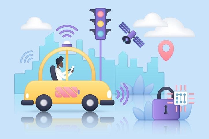
One of the standout features of Google Maps is its ability to automatically reroute users based on real-time updates. This ensures that you’re always taking the fastest route available, even if conditions change unexpectedly. Imagine being redirected away from a traffic jam just as it forms.
The app continuously assesses real-time conditions to optimize route selection for users. Whether it’s a minor delay or a significant road closure, Google Maps takes all factors into account to provide the best route. This constant reassessment means you can trust the app to guide you efficiently, no matter what obstacles arise.
When unexpected incidents occur, such as accidents or sudden traffic congestion, Google Maps reroutes you with detailed voice guidance, improving your navigation experience. This proactive approach ensures you’re always well-informed and can adjust your route accordingly. It’s like having a personal navigator who’s always one step ahead.
Fuel-Efficient Route Options
In today’s environmentally conscious world, fuel-efficient route options are a game-changer. Google Maps allows users to enable eco-friendly routing in the app’s settings, prioritizing fuel efficiency over speed. This feature is not only good for your wallet but also for the planet, helping reduce your carbon footprint with every journey.
When several routes are available, Google Maps highlights the eco-friendly option with a green leaf icon. This visual cue makes it easy to choose the most sustainable route, encouraging users to make environmentally friendly choices. It’s a small change that can make a big difference over time.
The app can also suggest routes based on the type of vehicle you’re driving, optimizing for fuel or energy efficiency specific to different engines. Whether you’re driving a hybrid, an electric car, or a traditional gasoline vehicle, Google Maps ensures you’re taking the most efficient route possible. It’s a thoughtful feature that takes personalization to the next level.
Turn-by-Turn Voice Navigation
Turn-by-turn voice navigation is a core feature of Google Maps, providing clear and audible directions during transit. This feature eliminates the need to constantly check your screen, allowing you to focus on the road ahead. It’s like having a co-pilot who never gets tired and always knows the way.
Voice navigation provides audible instructions for turns, traffic alerts, and lane guidance. This comprehensive support ensures you’re always in the correct lane and aware of upcoming changes to your route. It’s a level of detail that can make all the difference during complex navigation.
Additionally, voice navigation continues to provide directions during phone calls unless specifically muted. This means you can stay on track even while multitasking, ensuring a seamless navigation experience. It’s a feature designed for today’s busy lifestyle, making sure you never miss a turn.
Discover Local Places and Experiences
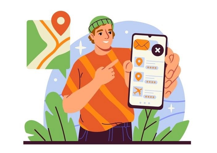
Google Maps is not just about getting from point A to point B; it’s also about discovering local places and experiences. The “Explore along your route” tool suggests interesting stops such as restaurants and scenic viewpoints tailored to your journey. This feature turns every trip into an adventure, helping you uncover hidden gems and explore new destinations.
The app organizes local suggestions by topic, allowing users to swipe through categories like restaurants and fast food for quick answers. This setup makes it easy to find exactly what you’re looking for, whether it’s a quick bite or a gourmet meal. It’s like having a local guide at your fingertips, enriching your travel experience.
Users can also filter dining options by price range, ratings, and cuisine type. This level of customization ensures you find the perfect spot to match your preferences and budget. Whether you’re searching for the next great culinary experience or simply a reliable place to eat, Google Maps makes finding restaurants effortless.
Improved Walking Directions
For those exploring on foot, Google Maps offers improved walking directions that display walking paths directly on the map. This feature simplifies navigation for pedestrians by highlighting preferred routes and shortcuts to ensure efficient travel. It’s ideal for city navigation, urban explorers, and tourists alike.
The overlay of walking paths helps you follow the most direct route to your destination, avoiding unnecessary detours. Designed to save time and effort, this feature ensures a smoother and more efficient walking experience.
Turn-by-turn voice navigation is especially useful for walking directions, providing step-by-step instructions without requiring you to look at your screen. This hands-free guidance keeps you on track and increases both safety and convenience during your journey.
Summary
In summary, Google Maps offers a comprehensive suite of features to help you find the fastest and most efficient route. From real-time GPS navigation and live traffic updates to offline maps and custom lists, the app is designed to make your travels smarter and more enjoyable. Immersive Street View, automatic rerouting based on live data, and fuel-efficient route options further improve the experience.
Google Maps is more than just a navigation tool as it’s a companion that enriches your travel experiences. So next time you hit the road, trust Google Maps to guide you every step of the way, making each journey smoother and more efficient.
FAQ
How does Google Maps find the fastest route?
Can I use Google Maps without an internet connection?
How does Google Maps help in discovering local places?
What is the benefit of fuel-efficient route options in Google Maps?
How does turn-by-turn voice navigation work in Google Maps?


